Introduction to Remote Sensing & Data Processing Pipelines
Remote sensing has become a cornerstone of modern Earth observation, enabling us to gather detailed information about our planet from a distance—often through the lenses of satellites, aircraft, or drones. Whether used to track deforestation, monitor urban development, or map changes in ice caps, these observations are invaluable for scientists, policymakers, and businesses worldwide. But capturing images from above is only half the story. To transform raw data into actionable insights, remote sensing relies on a series of data processing steps that polish and prepare each image for analysis. Below, we’ll explore how remote sensing works and look at the essential stages in a typical data processing pipeline.
Understanding Remote Sensing
At its core, remote sensing revolves around detecting and measuring electromagnetic radiation—whether it’s sunlight reflected off forests and cities, thermal energy emitted from the Earth’s surface, or radar signals bouncing back from ships at sea. These measurements can come from an array of platforms. Satellites in low-Earth orbit, for example, capture detailed snapshots of specific regions, allowing for high-resolution monitoring of crop health or urban sprawl. Meanwhile, geostationary satellites remain fixed over one spot, providing continuous views useful for weather forecasting.
Aircraft and drones also play crucial roles in remote sensing, particularly for localized studies that demand ultra-fine detail. Yet no matter the platform, the overarching goal is the same: to gather data on the Earth’s features and processes without physically touching them. Different sensors—multispectral, hyperspectral, thermal, radar, and lidar—each provide their own unique perspective. By harnessing multiple sensing technologies, analysts can form a comprehensive picture of our rapidly changing world.
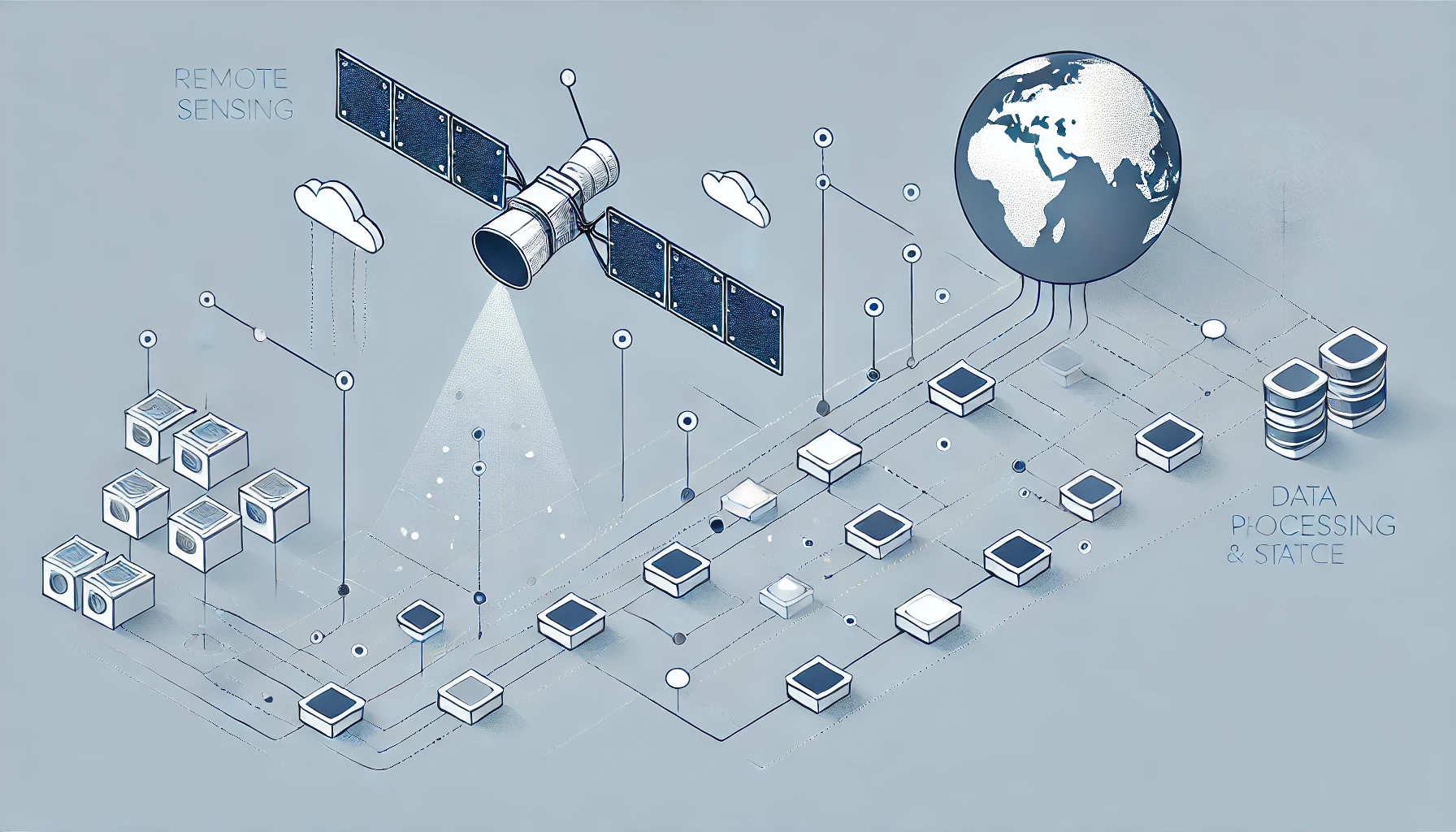
From Raw Data to Usable Insights
The process of turning a satellite or drone snapshot into something interpretable involves a structured pipeline. Data typically first arrives in a raw format, often influenced by atmospheric conditions, sensor-specific quirks, and geometric distortions from the Earth’s curvature or the movement of the satellite. Before analysts can begin to classify land cover types or detect changes over time, the data must be “cleaned.” This pre-processing includes radiometric corrections (to ensure consistent brightness and color), atmospheric corrections (to remove haze and adjust for sunlight angle), and geometric adjustments (so that each pixel lines up correctly with its real-world coordinates).
Once the imagery is properly aligned and calibrated, the next step is often data fusion—where multiple sources or types of data are brought together. For example, an analyst might overlay radar imagery on top of optical satellite images to see through cloud cover, or combine thermal data with elevation maps to understand how heat dissipates across different terrains. These integrations can reveal patterns that would remain hidden if one dataset were viewed in isolation.
Analysis and Feature Extraction
With the data organized and pre-processed, the real analytical work begins. Many remote sensing applications focus on classification, where algorithms group each pixel or region into categories—like water, forest, agriculture, or urban infrastructure. Machine learning and deep learning have made these classification tasks significantly more accurate and efficient. Instead of laboriously labeling each area by hand, analysts can train models to recognize subtle distinctions in color, texture, and spectral signatures.
Objects of interest—such as ships at sea or buildings in a developing city—can be detected using advanced computer vision techniques. By combining these automated insights with time-series data, change detection becomes possible: analysts can identify where a forest was cleared, how quickly a city expanded, or how floodwaters receded after a storm. These outputs, when validated against ground-truth information, can inform policies, guide urban planning, or help coordinate disaster relief efforts.
Practical Applications
One of the most prominent uses of remote sensing data is in agriculture, where farmers and agronomists track crop health, soil moisture, and pest infestations from above. These observations help optimize resource allocation—reducing unnecessary water or fertilizer usage—and can significantly boost yield predictions. Environmental monitoring is another major domain. By studying satellite-based records over years and decades, scientists can map deforestation, monitor polar ice melt, and gain insights into how climate change is affecting different regions.
Urban planners also rely on remote sensing for mapping and managing infrastructure. Regular, high-resolution imagery can reveal sprawling developments or help identify areas in dire need of roads and public facilities. In disaster management, timely remote sensing data becomes even more critical. After a major flood, for example, a newly processed satellite image can show precisely which neighborhoods are underwater, guiding emergency responders to the most vulnerable areas.
Challenges and Evolving Solutions
As satellite constellations multiply and drones become more ubiquitous, the volume of remote sensing data continues to skyrocket. Handling such massive datasets can strain both storage and processing capabilities, making automated and scalable data pipelines indispensable. Real-time or near-real-time processing is especially vital in emergency response situations, pushing researchers to develop faster algorithms and even run some AI models directly on orbiting satellites or on drones—an approach known as “edge computing.”
Standardization remains a challenge. Different space agencies and commercial providers may store and label their data in unique ways, complicating efforts to combine datasets seamlessly. Ensuring the accuracy and consistency of pre-processing also requires ongoing refinement, particularly when working across varied sensor types and environmental conditions. Meanwhile, as spatial resolution becomes sharper, ethical considerations around surveillance and privacy come to the forefront. Balancing the benefits of detailed monitoring with responsible data use is a conversation that continues to evolve.
Looking Ahead
Remote sensing offers us an unparalleled view of Earth’s landscapes, ecosystems, and human activities. With rapid advances in sensor technologies and AI-driven data analysis, we’re gaining deeper, more actionable insights than ever before. As we refine our data processing pipelines—removing noise, combining multiple perspectives, and automating complex tasks—our ability to respond swiftly to challenges like natural disasters, climate change, and resource management will only grow stronger.
In the years ahead, we can expect further innovations in both the breadth of sensors available and the sophistication of the pipelines that turn raw remote sensing data into real-world solutions. From protecting our oceans against illegal fishing to optimizing how we feed a growing global population, the realm of possibility continues to expand. For anyone curious about how we map, monitor, and ultimately protect our planet, a deep dive into remote sensing and its data processing workflows offers a fascinating glimpse of the future—one picture, or pixel, at a time.