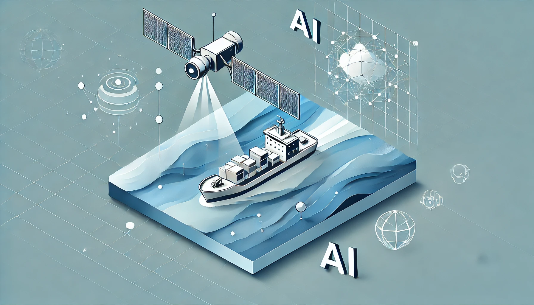
Maritime Applications: AI at Sea
From the open ocean to coastal ports, satellite imaging has long been a critical tool in monitoring and managing maritime activities. With growing trade volumes, rising environmental concerns, and persistent challenges like illegal fishing, the stakes on the high seas have never been greater. Today, the convergence of satellite technology and artificial intelligence (AI) is revolutionizing how governments, businesses, and conservationists observe, analyze, and respond to developments on the water. This article dives into how these advancements are reshaping the maritime domain—and why it matters for everyone who relies on the world’s oceans.
A New Era of Maritime Domain Awareness
One of the most significant impacts of pairing satellites with AI is maritime domain awareness—the ability to have near-real-time insights into everything happening in a given stretch of ocean. Historically, maritime surveillance depended on patrol ships or aircraft, which cover only limited areas and are expensive to operate. Satellite constellations, on the other hand, offer a global perspective. By scanning vast regions daily or even multiple times a day, they deliver a comprehensive view of vessel traffic, weather patterns, and ocean conditions.
Yet raw images alone can’t solve all the challenges at sea. To transform terabytes of imagery into actionable information, analysts increasingly rely on machine learning. Deep learning algorithms can track the movement of ships over time, automatically flag suspicious behaviors, and differentiate between fishing vessels, cargo ships, and oil tankers. As a result, maritime agencies gain an unprecedented level of situational awareness without investing in exhaustive manual searches.
Cracking Down on Illegal Fishing
Illegal, unreported, and unregulated (IUU) fishing is a multibillion-dollar problem that threatens marine ecosystems and undermines the livelihoods of legal fishers around the globe. By fusing satellite imaging with AI-driven vessel identification, authorities can detect patterns in shipping lanes and fishing grounds that might point to illegal activity. For instance, a group of vessels that deliberately switches off their transponders—a tactic known as “going dark”—may be trying to stay off the radar while fishing in protected waters.
When AI flags these anomalies, enforcement agencies can coordinate with local patrols or even partner with neighboring countries to intercept the offenders. While it’s still challenging to eliminate IUU fishing entirely, satellite-based surveillance narrows the anonymity gap on the high seas. Over time, these tools also gather crucial evidence for international courts and policy debates, pushing for tighter regulations and stronger cooperative frameworks to protect global fish stocks.
Monitoring Environmental Hazards and Pollution
Oil spills, marine debris, and harmful algal blooms represent ongoing threats to ocean health—and to the people who depend on it. Detecting such hazards quickly is essential for mitigating their impact. Optical and radar satellite sensors can both reveal telltale signs of pollution, whether it’s a sheen of oil on the surface or a bloom of algae discoloring the water. AI algorithms, trained on historical spill or bloom data, now excel at recognizing these patterns in new imagery.
In practice, maritime authorities and environmental NGOs can set up alerts that trigger whenever AI detects signs of pollution or ecological anomalies in satellite data. This proactive approach helps agencies respond faster, dispatch clean-up crews, and—if needed—hold polluters accountable. Over time, these monitoring systems also generate valuable insights into pollution trends and marine ecosystem health, guiding policy and conservation efforts.
Search and Rescue Missions
Search and rescue (SAR) operations at sea have historically been a race against time. The longer a vessel or a person in distress goes undetected, the lower their chances of survival. By analyzing high-frequency satellite imagery, combined with weather data and maritime traffic records, AI platforms can significantly reduce the time it takes to locate missing ships or individuals.
For example, an AI system might spot an unusual floating object or debris in an area where a vessel was last reported. Cross-referencing these visual cues with wind and current models, the system can suggest likely drift paths, directing rescue teams to the most probable location. These advancements stand to save countless lives by ensuring help arrives where and when it’s needed most.
Navigating Global Trade and Shipping Routes
Approximately 90% of the world’s trade travels by sea, making efficient shipping routes critical to the global economy. Small disruptions—in the Suez Canal, for instance—can reverberate worldwide. Satellite data, particularly when integrated with AI, offers a comprehensive way to manage and optimize these routes. Shipping companies can track port congestion, identify areas of bad weather, and receive early warnings about natural disasters.
On the strategic side, AI can analyze historical vessel movements to recommend time- and fuel-saving paths, helping shipping lines reduce costs and lower their carbon footprint. This optimization has broad environmental benefits, cutting emissions and reducing the risk of accidents associated with poor navigation choices.
Challenges and the Road Ahead
While satellite imaging and AI promise a brighter future for maritime management, challenges persist. For one, maritime data is often enormous, and processing it requires significant computing power. Cloud coverage and inclement weather can also complicate optical imaging, though radar satellites partially mitigate this by “seeing” through clouds. Access to near-real-time imagery remains costly for many developing nations, which could widen the gap in maritime surveillance capabilities between wealthier and poorer countries.
Furthermore, deploying AI models at scale demands robust training data, expert curation, and ongoing updates to maintain accuracy. Models trained on one region may not perform as well in another, given differences in vessel types, oceanic conditions, and local fishing practices. Ethical considerations around surveillance and data privacy must also be weighed—though in the largely ungoverned expanse of international waters, regulation can be murky.
Despite these hurdles, the trajectory is clear: satellite imaging and AI are set to play a growing role in how we manage and protect our oceans. As technology becomes more accessible and as public-private partnerships expand, we can anticipate more integrated maritime monitoring systems, potentially spanning entire coastlines and ocean basins.