Elevate Your Farming Operations
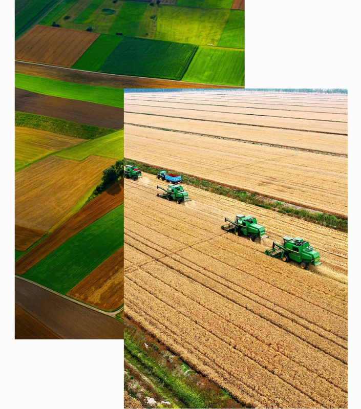
Modern agriculture faces growing demands: higher yields, efficient resource use, and sustainable practices. Satellite imaging meets these challenges head-on, providing data-driven insights into crop health, soil conditions, and environmental factors—without the need for costly field surveys.
By monitoring subtle changes across your fields, you can detect issues like nutrient deficiencies or pest outbreaks earlier and respond faster.
Optimize Your Fields and Boost Crop Performance”
Real-Time Data for Smarter, Healthier, and More Profitable Farming
Our platform blends high-resolution satellite imagery with powerful analytics to give you a clear picture of what’s happening in your fields, helping you make informed decisions at every stage of the growing cycle.
Agriculture Stages Made Simple
Before seeds go in the ground, accurate terrain and soil data set the stage for success. Our satellite imagery reveals variations in soil quality, moisture levels, and field topography, allowing you to plan efficiently and reduce waste from the very start.
Get real-time insights on weather patterns and soil conditions to guide seed placement and watering schedules. By monitoring moisture distribution across fields, you can fine-tune irrigation for healthier crops and minimize water usage.
Keep a close eye on plant development and address emerging issues like pest infestations or nutrient deficits. Frequent satellite updates highlight problem areas, giving you the chance to intervene quickly and protect your yields.
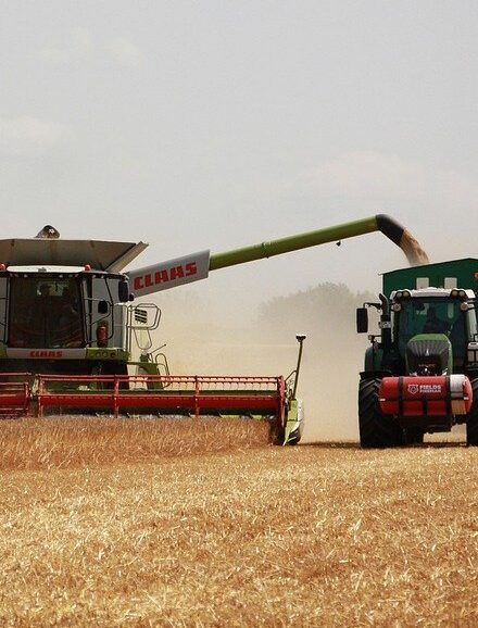
Determine optimal harvest windows and anticipate yields more accurately. With satellite data, you can streamline harvesting operations, plan labor needs, and minimize spoilage—improving overall efficiency and profit.