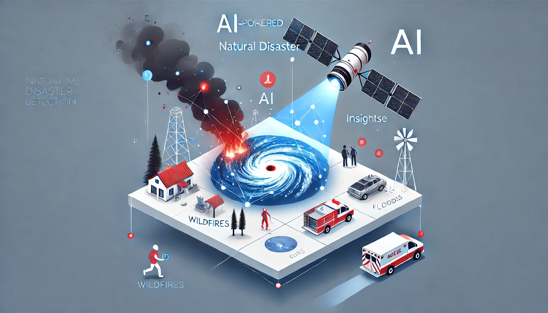
Detecting Natural Disasters and Emergency Response: How Satellite Imaging and AI Save Lives
When earthquakes strike, hurricanes make landfall, or wildfires burn through forests, minutes can make the difference between life and death. Today, satellite imaging and artificial intelligence (AI) play a pivotal role in how quickly and effectively communities can respond to natural disasters. From the early detection of brewing storms to the rapid assessment of damage after a major event, these technologies are transforming emergency management on a global scale.
A New Paradigm for Early Warning
The first line of defense against natural disasters is often an effective early warning system. Modern satellite networks provide continuous, wide-scale monitoring of the Earth’s atmosphere, oceans, and land surfaces. Optical and radar imaging, along with data from infrared and thermal sensors, can detect signs of an impending disaster well before it strikes:
- Tropical Cyclones and Hurricanes: Satellites monitor changes in cloud patterns, sea surface temperatures, and wind speeds to forecast a storm’s development and potential landfall.
- Volcanic Activity: Thermal imaging can capture early signs of rising magma, such as heat anomalies and gas emissions around a volcano’s summit.
- Flood Risks: Radar satellites, capable of seeing through clouds, observe ground deformation and river swelling, enabling forecasters to predict flood-prone areas—even at night or in poor weather conditions.
While satellite imagery alone can signal developing threats, AI amplifies the value of this data. By examining historical storm tracks and comparing them with current patterns, machine learning models can predict where a weather system might intensify and how quickly evacuation orders may need to be issued. This blend of real-time imagery and AI-driven analytics allows communities to prepare sooner—whether that means sandbagging vulnerable levees, mobilizing evacuation routes, or staging relief supplies.
Rapid Damage Assessment
Once a disaster hits, every hour counts for rescuing survivors and directing help to the hardest-hit areas. Immediately after events like earthquakes or tsunamis, local infrastructure might be destroyed, and on-the-ground assessment teams can struggle to navigate inaccessible terrain. High-resolution satellite images become essential in painting a comprehensive picture of what has transpired.
- Mapping the Extent of Destruction: By comparing pre- and post-event satellite images, AI-driven change detection algorithms quickly identify where bridges have collapsed, buildings have toppled, or roads are obstructed.
- Spotting Survivors and Shelter Needs: In some cases, thermal infrared sensors can help locate survivors trapped beneath rubble or stranded in flooded zones.
- Prioritizing Emergency Response: Equipped with this near-real-time information, emergency managers can allocate search-and-rescue teams, dispatch medical help, and distribute resources with pinpoint accuracy.
AI not only accelerates the analysis but also adds a layer of intelligence to it. Deep learning models excel at recognizing patterns—like collapsed buildings or impassable roads—in chaotic, post-disaster imagery. By automating these classifications, decision-makers gain actionable insights far more quickly than they would through manual inspection, potentially saving countless lives in the immediate aftermath of a catastrophe.
Coordinating Relief Efforts
Natural disasters often require a global response. Think of major hurricanes in the Gulf of Mexico or earthquakes in densely populated regions of Asia—international aid agencies, NGOs, and governments work hand in hand to provide relief. Here, satellite imaging and AI-based platforms serve as coordination hubs:
- Resource Tracking: Satellites can trace the movement of relief convoys, monitor storage depots, and track the flow of essential supplies like food, water, and medical equipment.
- Infrastructure Monitoring: As roads are repaired and bridges rebuilt, frequent satellite snapshots help emergency teams see progress in real time, ensuring relief trucks can navigate newly restored routes.
- Situational Updates: AI can ingest data from multiple sources—like social media posts, local sensors, and weather forecasts—then merge these insights with satellite imagery for a dynamic, continually updated situational map.
In large-scale disasters, maintaining a clear, shared picture of ground realities is critical. Satellite-powered dashboards, often paired with cloud-based AI analytics, reduce confusion among the many stakeholders involved. Volunteers and officials can see where supplies are needed most urgently and track how needs shift over time.
Building Resilience and Preparedness
Although immediate disaster response tends to grab headlines, long-term resilience is just as crucial for vulnerable areas. With satellite imaging and AI, governments and urban planners can spot patterns in how disasters strike, where they cause the most damage, and how preventative measures might make a difference. This knowledge informs:
- Urban Planning: Planners identify flood-prone zones and enforce building standards that resist extreme weather, like hurricane-proof roofs or earthquake-resistant foundations.
- Infrastructure Upgrades: Satellite surveillance highlights fragile dikes, aging bridges, or erosion along critical highways—spurring maintenance projects before another disaster hits.
- Risk Assessment: AI models evaluate historical satellite data to calculate the statistical probability of various disasters. Insurance companies, city councils, and homeowners use these assessments to plan accordingly.
Moreover, as climate change intensifies weather extremes, satellite data becomes even more valuable for monitoring storms, heatwaves, droughts, and other climate-related threats. AI-driven forecasts help localities adapt—by storing water in anticipation of drought, for example, or upgrading cooling centers to handle the next heatwave.
Overcoming Data Hurdles
While satellite imaging and AI show incredible promise, challenges remain. Acquiring high-resolution, timely imagery can be expensive, and not all regions have equal access to this technology. During widespread disasters, cloud cover often obscures images from optical satellites, necessitating radar-based solutions. Even then, processing large volumes of data in real time requires substantial computing power and well-trained AI models.
Privacy and ethical considerations also arise when collecting high-resolution data in sensitive areas. Striking a balance between urgent public safety and the protection of personal information demands clear guidelines and responsible data handling.
The Path Forward
Despite these hurdles, the track record of satellite imaging and AI in disaster detection and emergency response is undeniably strong—and the technology only continues to improve. Many space agencies and private companies are experimenting with deploying AI “on the edge,” meaning that satellites process some data onboard before beaming down results. This approach reduces the delay in identifying critical events.
Collaborations among international organizations, tech firms, and local communities are also on the rise. These alliances often focus on open-data initiatives, sharing satellite imagery with the regions that need it most. Such efforts make advanced analytics more accessible, bridging global inequalities in disaster preparedness and response.
Ultimately, detecting natural disasters and orchestrating effective relief efforts hinge on timely, accurate information. Satellite imaging and AI meet this need by providing a big-picture overview and drilling down to street-level detail. As the frequency and intensity of disasters increase worldwide, these technologies stand at the forefront of a proactive, informed approach—one that saves lives and strengthens communities against the inevitable shocks of an evolving planet.