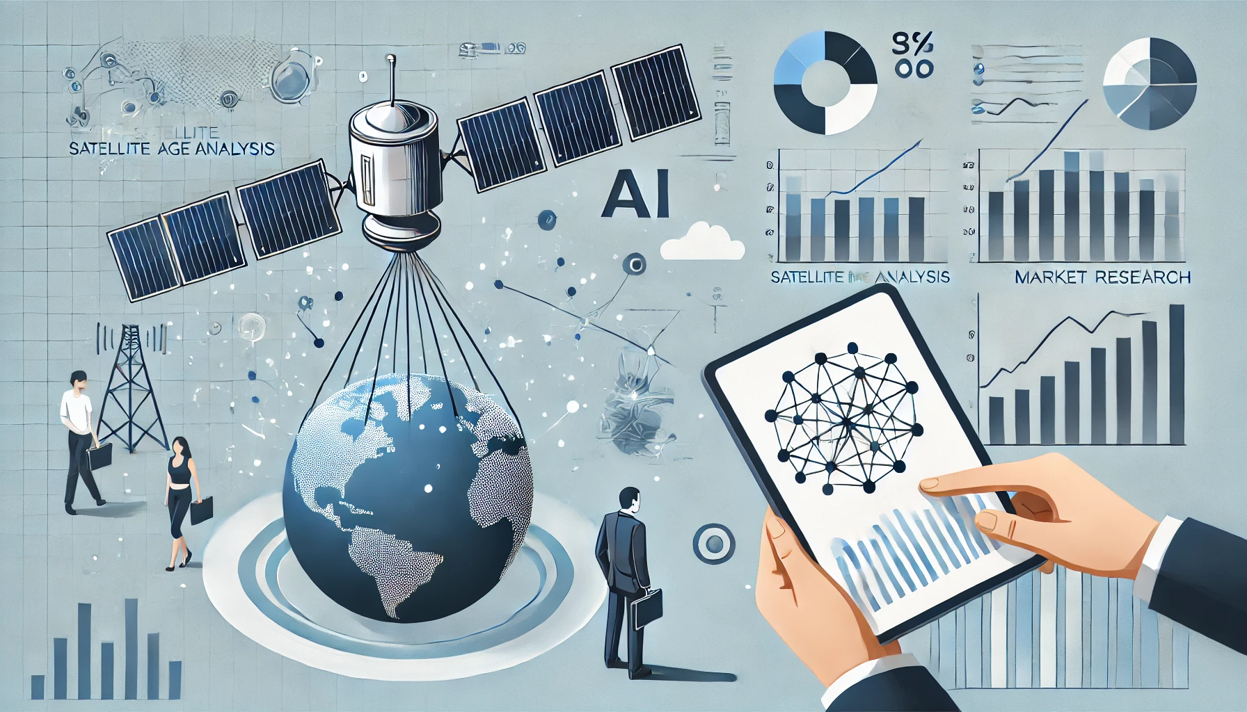
How AI Is Revolutionizing Satellite Image AnalysisMarket Research Tips for Small Business Owners
The Traditional Approach to Satellite Imaging
Before the age of AI, satellite images were processed and interpreted largely by human experts using manual or semi-automated approaches. Analysts would:
- Collect data from remote-sensing satellites such as Landsat, Sentinel, or commercial satellites.
- Pre-process the data to correct for atmospheric distortions, align multiple images, and adjust pixel values.
- Manually classify land cover and features (e.g., forests, water bodies, agricultural fields) based on color or spectral signatures.
- Map out patterns and create thematic maps for specific use cases, like urban planning or disaster assessment.
This approach is still used today but has inherent challenges. It can be:
- Time-consuming due to manual annotation and classification.
- Prone to human error since individuals may interpret images differently.
- Limited in scale: as the volume of data grows, it becomes increasingly difficult to maintain consistent accuracy across massive regions.
The AI-Driven Transformation
Recent advancements in machine learning—particularly deep learning—have changed the game. These sophisticated algorithms can detect features and classify land covers automatically, often outperforming human experts. Here’s why:
- Pattern Recognition at Scale
Deep learning models, such as convolutional neural networks (CNNs), are exceptionally good at recognizing complex patterns in imagery. By training on large labeled datasets, these networks learn to identify objects (like roads, buildings, or vegetation) with high levels of accuracy across vast geographical scales. - Automation of Complex Tasks
Tasks that once required hours of human labor—like distinguishing between different types of crops or identifying small changes in urban infrastructure—can now be handled by AI systems. This automation allows analysts to spend more time interpreting results and making decisions, rather than manually classifying data. - Adaptability to Different Spectral Ranges
Many satellites capture data beyond the visible spectrum. They use infrared, thermal, and other bands to reveal insights that the human eye cannot. AI models can incorporate these different spectral channels to detect subtle changes in vegetation health, water turbidity, or soil moisture levels—all essential to environmental monitoring and resource management.
Key Applications and Use Cases
- Environmental Monitoring
- Deforestation Detection: AI tools can quickly identify areas of illegal logging or natural forest decline and send alerts to authorities in near-real-time.
- Wildlife Protection: By analyzing changes in vegetation and water sources, conservationists can better understand animal habitats and predict migration patterns.
- Disaster Management
- Flood Mapping: After a hurricane or heavy rainfall event, AI can generate flood extent maps within hours, enabling faster evacuation planning and resource allocation.
- Wildfire Spread Prediction: Using thermal imagery and deep learning, emergency responders can anticipate how fires will spread in order to protect communities and natural habitats.
- Agricultural Optimization
- Crop Classification: Deep learning models can differentiate between various crops, helping governments and NGOs track food supply and forecast harvest yields.
- Precision Farming: Satellite-based AI insights guide farmers on where and when to irrigate, fertilize, or apply pesticides, optimizing resources and reducing waste.
- Urban and Infrastructure Planning
- Road and Building Extraction: Detecting roads and buildings from satellite imagery in near-real-time can improve city planning, infrastructure development, and humanitarian aid.
- Monitoring Urban Sprawl: AI-powered change detection can reveal patterns of urban growth, enabling policymakers to make more informed decisions about zoning and public services.
- Maritime Surveillance
- Illegal Fishing Detection: By tracking vessel movements from space, authorities can spot suspicious activity and help protect marine ecosystems.
- Oil Spill Monitoring: Satellite-based AI can quickly detect spills, aiding swift response and reducing environmental damage.
Overcoming Challenges
While AI offers enormous promise, there are still challenges:
- Data Quality and Availability: Many deep learning models require large, high-quality labeled datasets. For certain regions or niche applications, obtaining this data can be difficult.
- Cloud Obstruction: Optical satellite images are often obstructed by clouds, requiring advanced AI-driven cloud detection and gap-filling techniques.
- Generalization: Models trained in one geographical area may not perform well in a region with different environmental conditions or data distributions.
- Ethical and Privacy Concerns: The growing volume of high-resolution imagery raises questions around privacy, data ownership, and the potential misuse of sensitive information.
Future Outlook
The intersection of AI and satellite imaging is still evolving. New trends include:
- Multi-Modal Analysis: Combining satellite imagery with other data sources, such as social media posts, Internet of Things (IoT) sensors, or on-ground observations, to gain deeper insights.
- Edge Processing: As smaller satellites and drones capture data, some AI models may run directly on these platforms for real-time analysis, reducing the need for large data transfers.
- Explainable AI: Researchers are developing algorithms that can explain how they arrived at a particular classification or detection, making AI systems more transparent and trustworthy.
- Global Coverage and Daily Updates: The rapid increase in private satellite constellations means some areas can be imaged multiple times per day. AI can continuously update vital datasets, such as crop or forest inventories.
Conclusion
AI has become a pivotal force in revolutionizing satellite image analysis. By automating and enhancing many complex tasks, machine learning models enable faster, more accurate insights that were previously unthinkable at global scales. From monitoring environmental threats to optimizing urban infrastructures, AI-driven satellite imaging is transforming how we observe, understand, and interact with our planet. As technology continues to advance, we can expect even more innovative applications—helping shape a future where satellite data plays a central role in decision-making and sustainability efforts.