Categoría: Uncategorized

Maritime Applications: AI at Sea

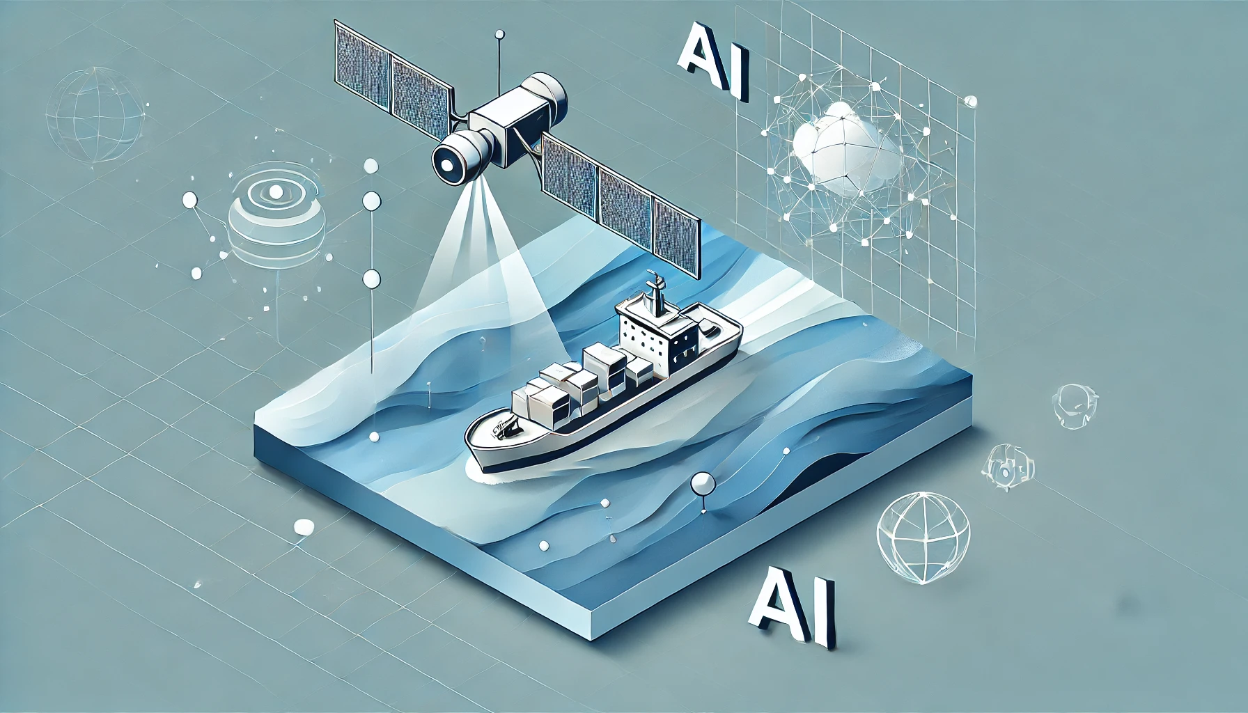
From the open ocean to coastal ports, satellite imaging has long been a critical tool in monitoring and managing maritime activities. With growing trade volumes, rising environmental concerns, and persistent challenges like illegal fishing, the stakes on the high seas…

Land Use and Urban Planning: The AI Advantage

Urban landscapes are evolving at a rapid pace, with buildings springing up in once-rural areas and city centers expanding to accommodate growing populations. Keeping track of this ever-changing map is crucial for effective urban planning, but manual surveys and site…

Introduction to Remote Sensing & Data Processing Pipelines

Remote sensing has become a cornerstone of modern Earth observation, enabling us to gather detailed information about our planet from a distance—often through the lenses of satellites, aircraft, or drones. Whether used to track deforestation, monitor urban development, or map…