Safeguard Our Planet with Advanced Satellite Monitoring
In a world facing rapid climate shifts, resource depletion, and ever-evolving regulations, staying informed is essential. Satellite imaging provides a vital, real-time perspective on land use, biodiversity, and the overall health of ecosystems. With clear, up-to-date data, organizations can detect environmental changes early—whether it’s deforestation, habitat loss, or pollution—and respond proactively.
By harnessing the power of space-based observations, you gain a comprehensive view of large geographic areas without the need for extensive on-the-ground surveys. This scalable approach not only reduces costs but also empowers governments, NGOs, and businesses to make decisions that balance development with responsible stewardship of our planet’s resources.
Monitor, Protect, and Preserve Earth’s Vital Resources
Real-Time Insights for Sustainable Development and Conservation
Our integrated platform uses high-resolution satellite data to help you track ecological changes, comply with environmental standards, and implement strategies that respect natural habitats and communities.

Environmental Stages Made Simple
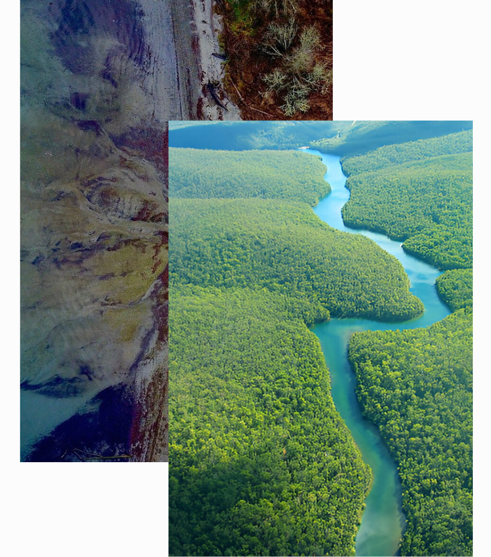
Gain a holistic view of forests, wetlands, and protected areas. Detailed imaging reveals habitat fragmentation, shifts in vegetation cover, or encroachment—allowing you to preserve natural ecosystems more effectively.
Balance economic development with ecological preservation. Our data-driven approach helps identify regions suitable for sustainable land use, guiding responsible extraction, farming, and infrastructure projects.
Track droughts, floods, melting glaciers, or coastal erosion. By analyzing historical and current satellite data, you can better anticipate weather-related risks and develop adaptive strategies to mitigate damage.
Stay ahead of evolving environmental regulations. Satellite-based records offer transparent, time-stamped evidence of land use, helping you prove compliance, avoid penalties, and maintain public trust.