Empower Your Mining Operations
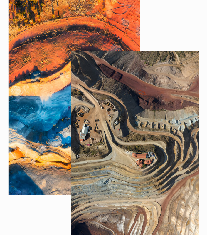
Satellite imaging has become a game-changer for the mining sector. From early exploration to daily site operations, high-resolution imagery provides a clear, data-driven perspective on geological features, potential hazards, and resource distribution.
By tracking subtle changes in terrain and land use, mining companies can identify new opportunities, optimize existing sites, and reduce environmental impacts.
Maximize Your Mineral Discovery and Operational Efficiency
Real-Time Insights for Smarter, Safer, and More Profitable Mining
Our integrated platform leverages cutting-edge satellite imaging to deliver actionable insights—from pinpointing mineral deposits to streamlining day-to-day operations.
Mining Stages Made Simple
Identify high-potential mineral sites faster and reduce costly field surveys. Advanced satellite imaging pinpoints geological anomalies, so you can focus resources where they matter most—getting ahead of competitors and accelerating discovery.
Plan infrastructure with precise terrain data to avoid surprises and delays. Our high-resolution imagery offers continuous monitoring, ensuring you adapt quickly to changing ground conditions and keep construction on schedule.
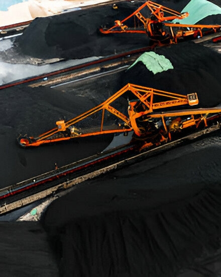
Oversee active operations with near real-time updates on equipment, resources, and stockpile volumes. By spotting inefficiencies early, you can fine-tune processes, reduce downtime, and maintain smooth, cost-effective production.
Stay aligned with regulations and safeguard workers by detecting land shifts or unauthorized activity early. Automated alerts help you address risks proactively, protecting both your people and the environment.