Enhance Infrastructure Projects
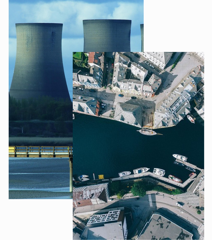
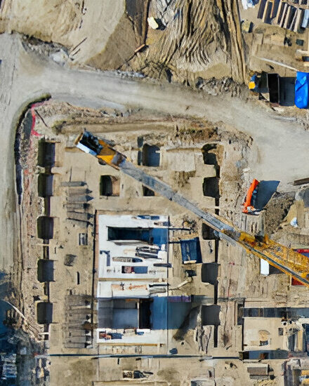
Infrastructure projects often involve significant investments, complex logistics, and high-stakes deadlines. Satellite imaging provides a bird’s-eye view of roads, bridges, railways, and large-scale construction sites, enabling stakeholders to track progress, identify potential hazards, and optimize resource allocation—all without being physically on-site.
By detecting subtle changes in terrain, vegetation, and human activity, you can swiftly address issues before they become costly setbacks.
Build Smarter, Safer, and More Efficiently
Real-Time Insights to Keep Your Infrastructure Projects on Track
Our platform pairs high-resolution satellite imagery with powerful analytics to give you a comprehensive view of every stage of your infrastructure development, from initial surveys to final inspections.
Infrastructure Stages Made Simple
Identify optimal routes and construction sites with precise terrain data. By analyzing landforms and existing infrastructure, you can minimize environmental impact and ensure cost-effective layouts from the start.
Monitor your project’s progress in near real-time, spotting deviations from the blueprint or potential safety hazards. Swift action on identified issues keeps your project timeline intact and your workforce safe.
Once built, infrastructure requires ongoing oversight. Satellite updates reveal changes in land use, traffic patterns, and structural conditions, allowing you to allocate maintenance resources exactly where they’re needed.
Stay ahead of regulatory requirements by documenting each stage of development with clear, time-stamped imagery. Transparent records help avoid penalties, protect public interests, and foster community trust.